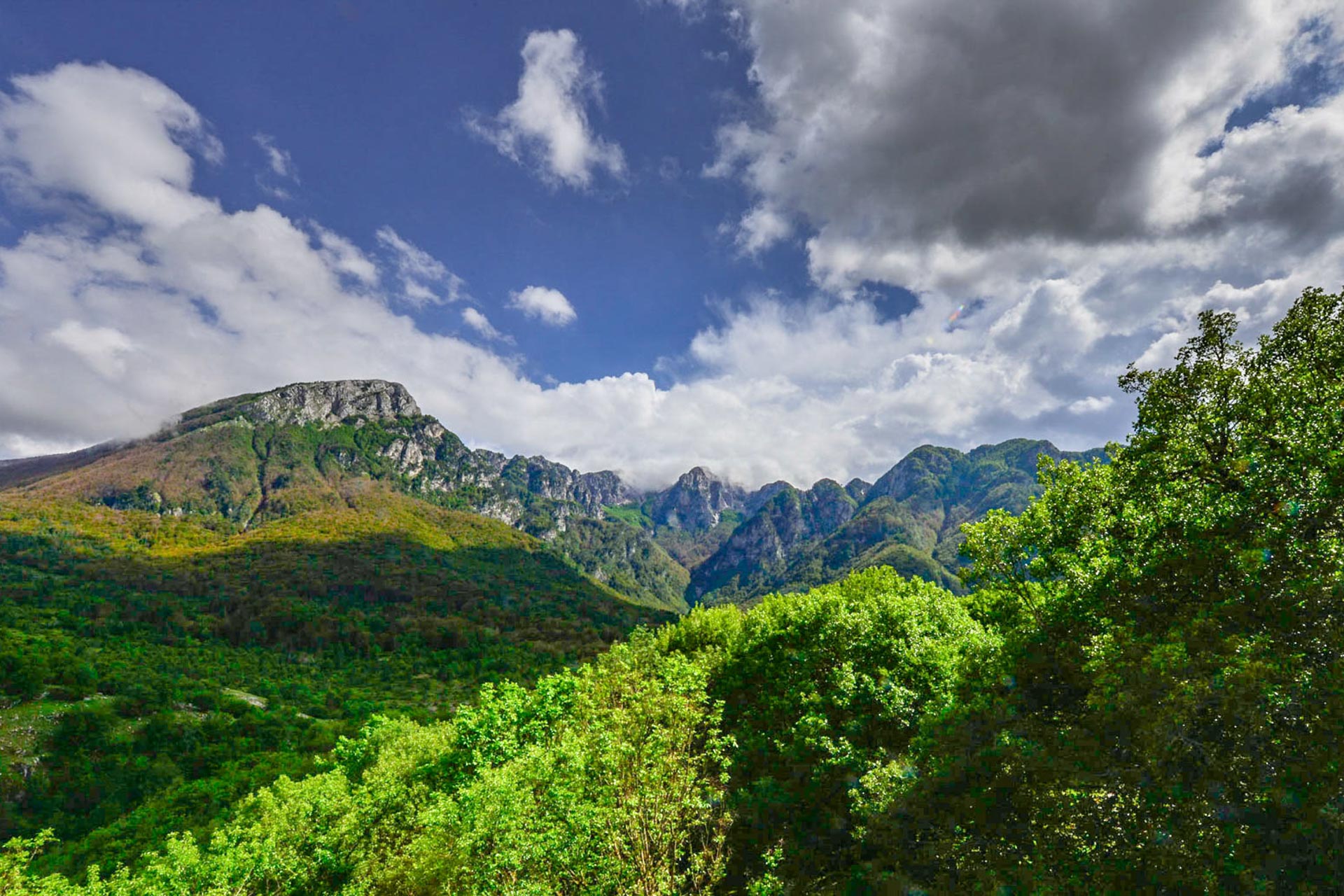
Abruzzo, Lazio and Molise National Park offers an extensive network of hiking trails (about 150) leading across the Park and covering a total distance of over 750 km. Each trail – identified by a letter of the alphabet and a number – is marked in the outdoors with international signs or markings (red/white/red flag).
The trail network is available on the new trail map of Abruzzo, Lazio and Molise National Park, as well as on smartphone and tablet with the “PDF Map” application, allowing you to track your current location, save GPS tracks, create place markers, and find locations.
Hiking is possible everywhere along the existing trails. However, it is advisable to contact the Park Headquarters to ask for information about potential restrictions regarding some trails.
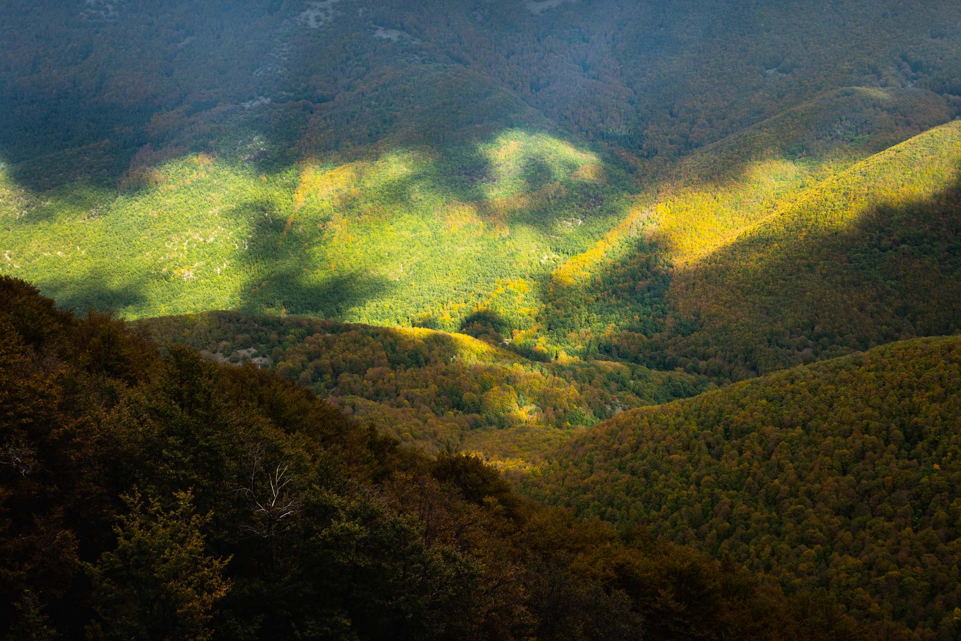
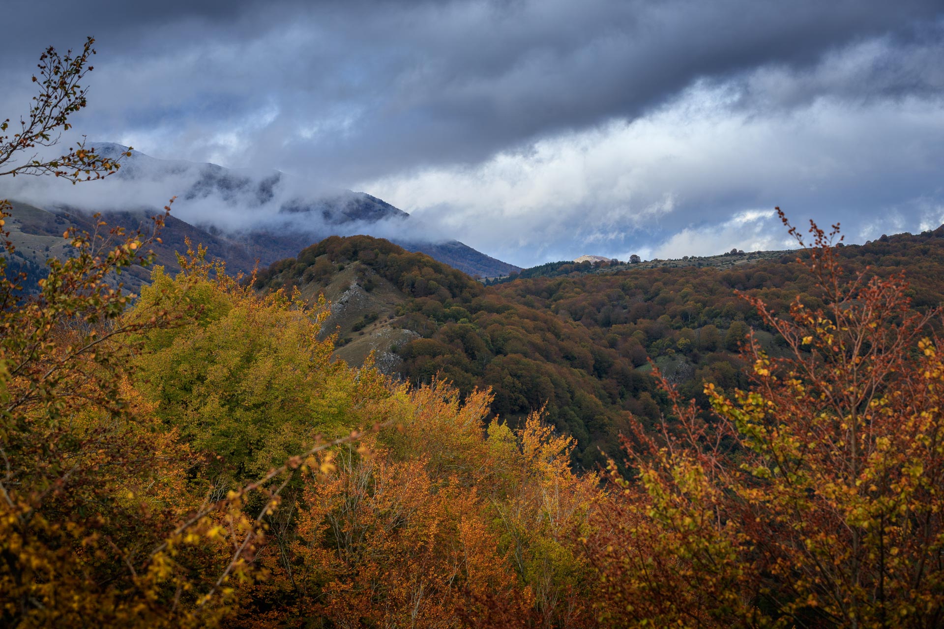
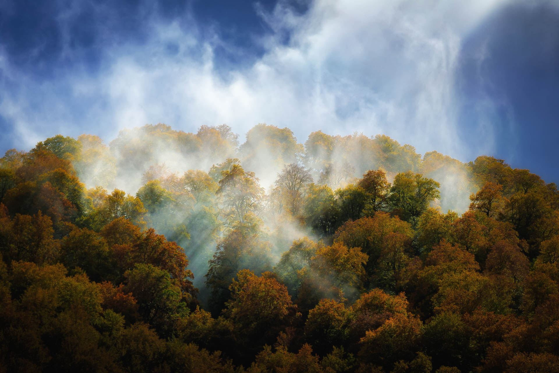
Some hiking trails cross the old-growth beech forests, while others only touch them lightly.
Below, you will find some trails for each of the 5 beech forests of the Park, beginning and ending in a place accessible by car. You can also decide to do the trails the other way round, or only in part. Or you can combine different trails, according to your own needs.
There are neither shuttle buses nor a functional public transport service. That’s why to complete a route you need to plan it well, or in some cases you will have to go back along the same trail.
1. Val Cervara
The oldest beech forest in Europe
- Main trail: R5
- Trailhead: Passo del Diavolo (1,400 m AMSL)
- Distance: 5 km to Fonte Puzza + 7 km to Madonna della Lanna
- Uphill: 330 m (Fonte Puzza – 1,730 m AMSL)
- Downhill: 560 m (Fonte Prati d’Angro – 1,170 m AMSL)
- Estimated hiking time: 2 hours to Fonte Puzza + 3 hours to Madonna della Lanna
- Difficulty level: E – For hikers
The oldest beech forest in Europe can be visited by taking trail R5 connecting the valley of Alto Sangro (Passo del Diavolo) to Vallelonga and running along the wild and deep narrow valley of Lampazzo; then, once in Fonte Puzza, it climbs down into the forest of Val Cervara and emerges further on into the plateaus of Prati d’Angro. From here, it continues along trail B1 for about 3 km to locality Madonna della Lanna.
An easy trail with limited elevation which, after just over one kilometer of dirt track (T1), enters the old-growth forest where, besides all the structural forms of the woodland, you might come across its most interesting inhabitants, such as the bear, the wolf, and the deer.
Slightly more challenging if you do it the other way round, this trail is not to be missed if you really want to understand an old-growth beech forest.
2. Selva Moricento
A true wilderness among mountain ridges and karst sinkholes
- Main trail: R4
- Trailhead: Passo del Diavolo (1,400 m AMSL)
- Distance: 11 km (7 km to Valico Marcolano + 4 km to Madonna della Lanna)
- Uphill: 500 m (Valico Marcolano – 1,900 m AMSL)
- Downhill: 790 m (Madonna della Lanna – 1,110 m AMSL)
- Estimated hiking time: 5 hours (2.5 hours to Valico Marcolano + 2.5 hours to Prati d’Angro)
- Difficulty level: EE – For experienced hikers
Moricento forest is crossed by a trail network consisting of ancient carriage roads all converging in locality Cicerana (Municipality of Lecce dei Marsi), connected to one another and easily accessible.
Without a doubt, the most fascinating trail (R4) begins in Passo del Diavolo and, after about 1.5 km (T1) of dirt road, leads to locality “stazzo di Fossa Perrone” entering more and more the old-growth forest up to the clearing of Campo Secco. From here, it continues to the Marcolano Pass, a wonderful viewpoint over the whole Moricento forest, the forest of Val Cervara, and Prati d’Angro. The same trail goes down to Prati d’Angro and leads to locality Madonna della Lanna.
If you decide to do it the other way round, the trail requires a higher fitness level because of the greater elevation.
3. Coppo del Principe
A beech forest where nature and history meet
- Main trail: C5
- Trailhead: Pescasseroli (camping La Panoramica – 1,200 m AMSL)
- Distance: 16 km
- Elevation: 630 m (lodge Pesco di Iorio – 1,830 m AMSL)
- Estimated hiking time: 6 hours (2 hours to the lodge Pesco di Iorio)
- Difficulty level: E – For hikers
Even without entering it, Coppo del Principe beech forest can be admired in all its beauty from a loop trail which begins in Pescasseroli (near the ski facilities), reaches the lodge of Pesco di Iorio (trails B1-R7-B4), develops along the ridge Tre Confini – Monte Tranquillo (C5) to the sanctuary with the same name, and from here it goes back to the town along trail C3 and the dirt road (C1).
A level trail, long but not particularly challenging, where you can look down on the forest and admire its structure and dynamics from a privileged point of view.
Grasslands colonized by the alpine buckthorn and populated by the bear, imposing candelabra-shaped trees, and a spectacular sight over the whole Park make it an unforgettable trail combining history, nature, and landscape.
4. Val Fondillo
Discovering the beech forest where it all began
- Main trail: F1
- Trailhead: Segheria Val Fondillo (1,080 m AMSL)
- Distance: 4 km (outward journey)
- Elevation: 720 m (summit of Monte Amaro – 1,860 m AMSL)
- Estimated hiking time: 2 hours (outward journey)
- Difficulty level: E – For hikers
The old-growth beech forest of Val Fondillo (Cacciagrande and Vallone Iancino) represents the original core of the Park, but due to its harsh conditions it is not easy to visit. The best trail to get close to it (F1) is challenging for elevation change, slope, and exposed stretches: it leads to the summit of Monte Amaro (1,885 m), a natural stage offering a 360° view over the protected area. From here, you can also enjoy the view over the ledges of Camosciara covered with black and mountain pines and over the underlying forest of Cacciagrande, where you will have the chance to sight small herds of chamois.
You will have to go back necessarily along the same trail.
An alternative for everyone, even if it touches the old-growth beech forest only slightly, is represented by the valley floor trails Val Fondillo – F2 and Camosciara G1-G6, developing in the most representative areas of the Park, and thus not to be missed.
5. Coppo del Morto Beech Forest
A trail across the “disputed woodland”
- Main trail: A3
- Trailhead: Pescasseroli (1,150 m AMSL) or Bisegna (1,210 m AMSL)
- Distance: 10 km (to Valico del Carapale) + 5 km (to Scanno)
- Uphill: 910 m (Valico del Carapale – 2,060 m AMSL)
- Downhill: 1,000 m (Scanno – 1,050 m AMSL)
- Estimated hiking time: 3 hours to Valico del Carapale + 2 hours to Scanno
- Difficulty level: E – For hikers
Located on the southern slope of Serra della Terratta, the old-growth forest of Coppo del Morto is a narrow strip of woodland disputed for a long time between the Municipality of Pescasseroli and the Municipality of Scanno. It is easily accessible by taking a long dirt road (A1) connecting the town of Pescasseroli to Bisegna. Near Valico di Terraegna (1,730 m), trail A3 begins: this trail crosses the whole forest up to Carapale Pass, where you can decide to continue along the same trail towards Scanno, completing one the traditional “crossings” of the Park.